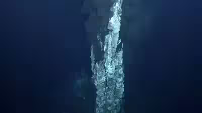
Archaeologists working with Indigenous rangers have documented two underwater sites off Murujuga in Western Australia, uncovering evidence of how First Nations communities used the landscape before rising sea levels submerged it thousands of years ago. The findings, reported by ABC News and detailed in a new study published in Quaternary Science Reviews, expand on earlier research into the region’s submerged Aboriginal heritage. The research was also announced by Flinders University, one of the institutions involved in the project. The discoveries include stone artefacts near an ancient freshwater spring and evidence of activity around a rocky hill overlooking a former river channel. Together, they offer a glimpse into a landscape that once connected parts of the Dampier Archipelago before the coastline changed following the last Ice Age.
Two sites reveal how people used the landscape
The newly documented locations highlight how people interacted with different environments, from freshwater sources to elevated terrain overlooking waterways. Before rising seas transformed the region, these areas were part of an accessible landscape rather than the seabed they have become today.The freshwater spring would have provided an important resource and a natural meeting place. Its significance extends beyond archaeology, with local ranger Richard Variakojis telling ABC News that the submerged spring remains connected to traditional songlines. This offers a reminder that places can retain cultural meaning even after dramatic environmental changes alter their physical surroundings. The second site lies near a rocky hill overlooking an ancient river channel. Its setting provides further evidence of how people may have moved through and used the region when the archipelago was connected by dry land.Researchers say the sites were submerged at least 9,000 years ago, although the artefacts themselves could date to an earlier period. The distinction is important: the timing of inundation establishes when the landscape went underwater, not necessarily when each object was made or used.
Stone tools point to movement across the region
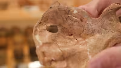
An analysis of the artefacts indicates that some were made from stone originating around Rosemary Island, approximately 23 kilometres from the locations where they were discovered. The finding suggests that people selected and transported stone across considerable distances, offering clues about how resources moved through the ancient landscape. The material may have been valued for its suitability for making tools, although the precise reasons for choosing particular stone sources require further investigation.The discoveries also add to a growing body of research into submerged archaeological sites around Australia. As sea levels rose after the last Ice Age, more than two million square kilometres of the continent’s continental shelf were flooded, covering landscapes once inhabited and travelled by First Nations peoples. Much of this underwater terrain remains unexplored, leaving researchers with a substantial area in which to investigate evidence of early human activity.
Indigenous rangers help uncover submerged heritage
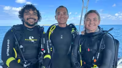
The research brought together Murujuga Aboriginal Corporation and scientists from Flinders University, the University of Western Australia, James Cook University and the University of York in the United Kingdom. Murujuga Aboriginal Corporation rangers Malik Churnside and Richard Variakojis trained as scientific divers, participated in underwater surveys and helped discover artefacts. Both are co-authors of the study, reflecting the role of Indigenous expertise in documenting and interpreting the region’s cultural heritage.For the Ngarda-Ngarli people, the Traditional Owners and Custodians of Murujuga, the findings reinforce the connection between land, sea and cultural identity. The Murujuga Cultural Landscape, recognised on UNESCO’s World Heritage List, encompasses the Burrup Peninsula, the Dampier Archipelago, surrounding marine areas and submerged landscapes.
About the Author